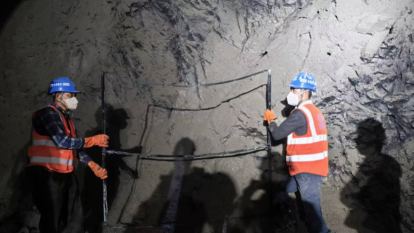
Case Background: A geological hazard assessment was conducted on construction land in Italy. Geophysical exploration methods were used to roughly determine the planar distribution of unfavorable geological structures, including strata, goafs, karst caves, and faults within the area. The survey depth ranged from 50 to 300 meters, providing data for evaluating geological environmental conditions and the suitability of the land for construction. Transient electromagnetic (TEM) was selected as the technical method.
Detection interpretation: Based on the cross-section results and comprehensive analysis of planar geological data, the anomalies in the area are divided into three categories:
1) The red circle indicates a low-resistivity anomaly in the possible coal seam area, which is inferred to be an anomaly in the coal mine goaf.
2) The yellow circle is a low-resistivity anomaly distributed in the limestone area, which is inferred to be a karst fissure anomaly.
3) The green circle indicates the low-resistivity anomaly caused by cracks, faults, and fracture zones that may exist in the sandstone area.
Data display:
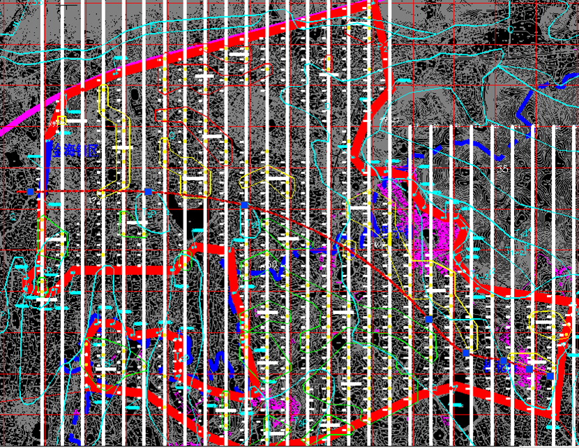
Distribution map of abnormal areas in assessment work
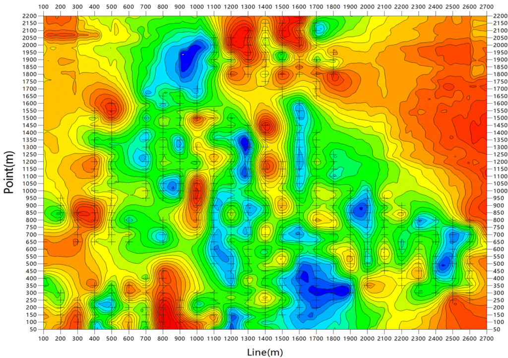
Apparent resistivity contour slice at 140m depth